Sarratt Walk 07
Footpath to Moor Lane
This is the longest of this collection of circular walks measuring 6.5 miles beginning and ending at Sarratt village hall.
It's by and large a gentle, flat walk that is suitable for families, however there are 2 very short but quite steep inclines: first going up Windmill Hill to the Windmill public house in Chipperfiled (about 300yds) and the second is at the very end after you leave Bottom Lane on the footpath to The Briars there is a further hill for about 100yds, but these don't detract in any way from a lovely, varied walk that I found one of the best in this collection.
Please do remember that any accompanying dogs must be kept under control at all times.
This walk took me nearly 3hrs on a lovely day in mid July 2012.
A map of the walk is attached HERE
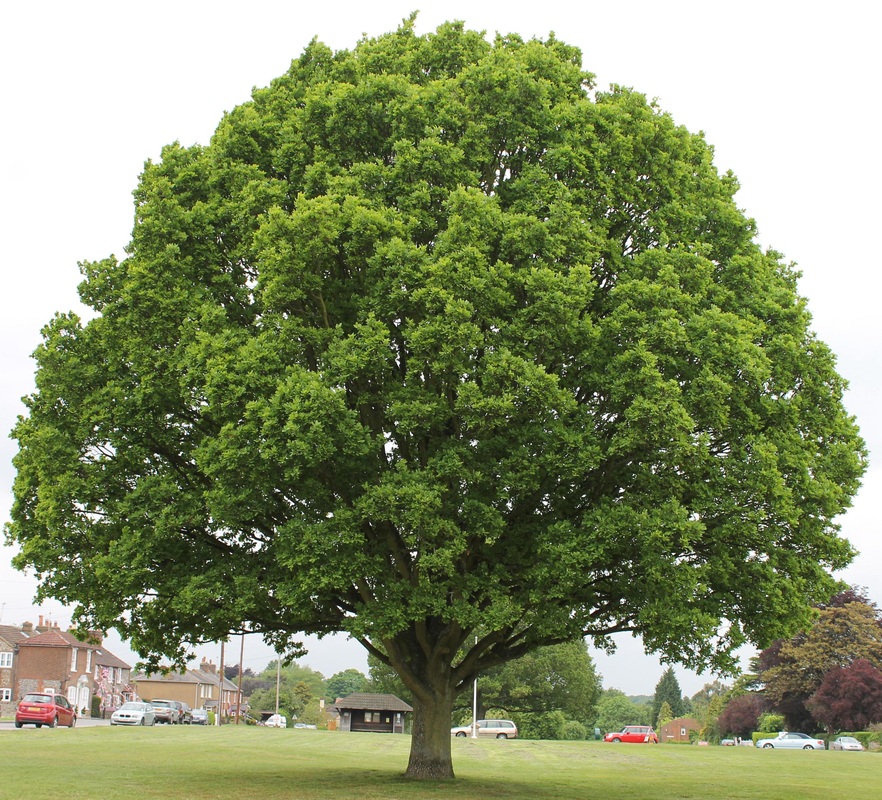
Oak tree on The Green
|
With your back to the Village Hall go left up the Green, keeping to the left hand side and passing the shop. Notice the beautiful oak trees, each one so symmetrical, just lovely, down the centre of the Green. Continue onwards past Dawes Lane on your left and The Boot PH on your right, then just past the old Victorian post box there is a footpath on your left by Morton's Cottage
|
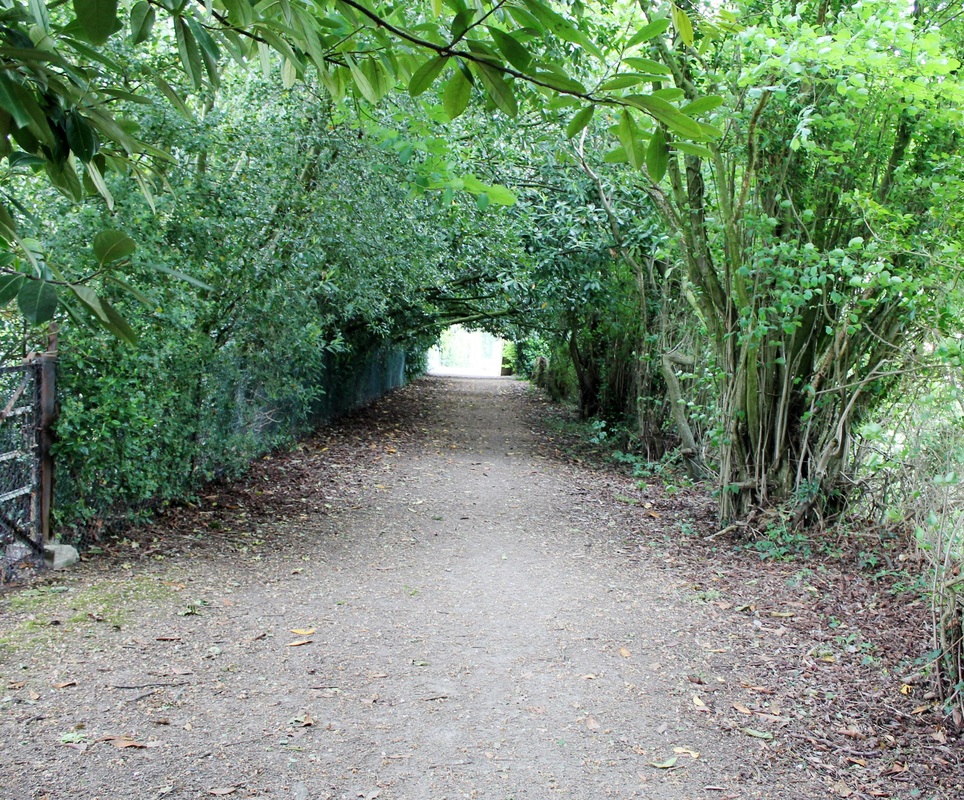
Footpath beside Mortons Cottage
|
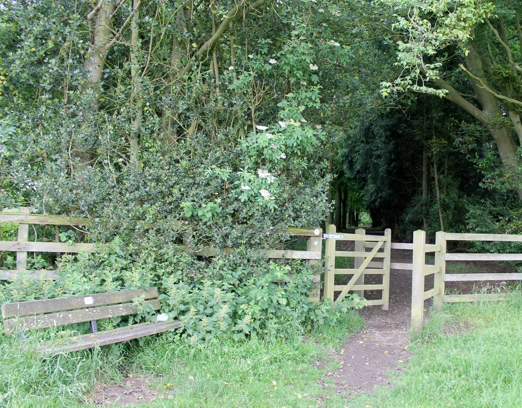
Turn left down the beautiful avenue of trees between the houses and then pass through a kissing gate and into an open field.
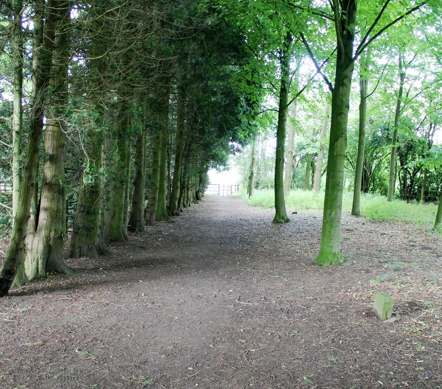
Continue on, keeping to the left hand side along by the hedgerows until you come across another kissing gate which you continue through and into Dawes Common, where you go right heading for the northern exit from the common |
Northern exit from Dawes Common to Moor Lane
|
The northern exit is through these gates at the right of this track and on down this avenue of trees (see picture below)
At the end go through the kissing gate, notice the commemorative seat (see picture below) on your right. and then proceed through the fields to Moor Lane |
Avenue of trees to escort you out!
|
Commemorative bench to Les Dolamore
|
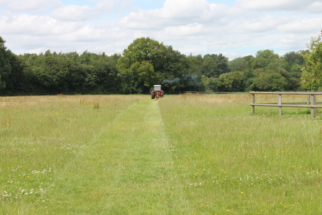
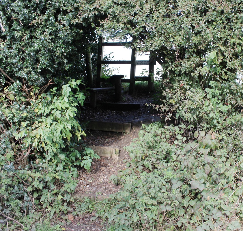
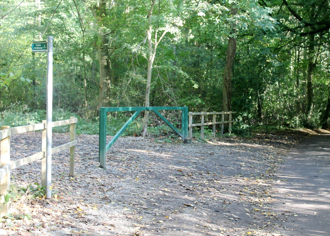
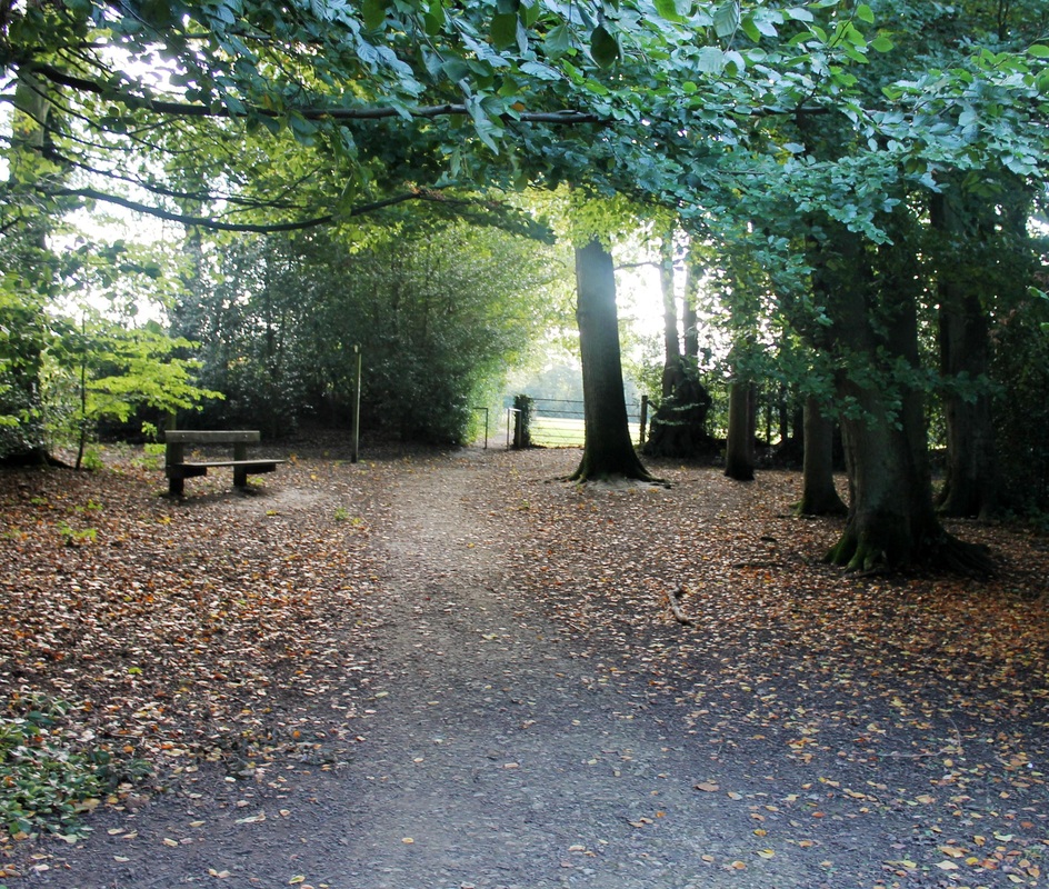
Footpath to Moor Lane
|
Proceed forward passing through two further kissing gates through the fields to Moor Lane.
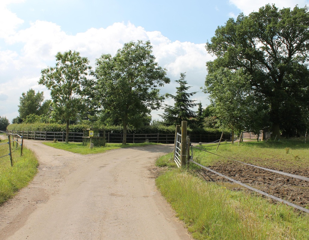
Cross Moor Lane and walk diagonally across to the top right corner of the next field and at the corner cross another stile onto a farm drive, cross a further stile and then go diagonally right to yet another stile which will bring you into Rosehall Farm Drive. This patch may sound a little complicated but you basically are walking in a straight line in a north to north westerly direction and all the paths are quite obvious. |
Rosehall Farm Drive
|
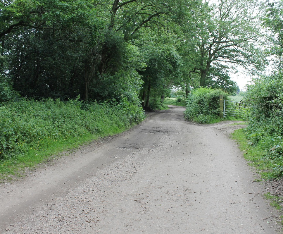
Upon reaching Rosehall Farm Drive turn left and follow the road/ track to the farm - about 500yards
|
Keep left here as you approach Rosehall Farm
|
As you approach Rosehall Farm keep to your left as the track forks.
Ignore the path on your left and keeping the farm buildings on your right, continue ahead and cross a metal stile. Keeping the riding school and buildings on your right go forward on a short footpath through the trees to appear by Bragmans Farm. |
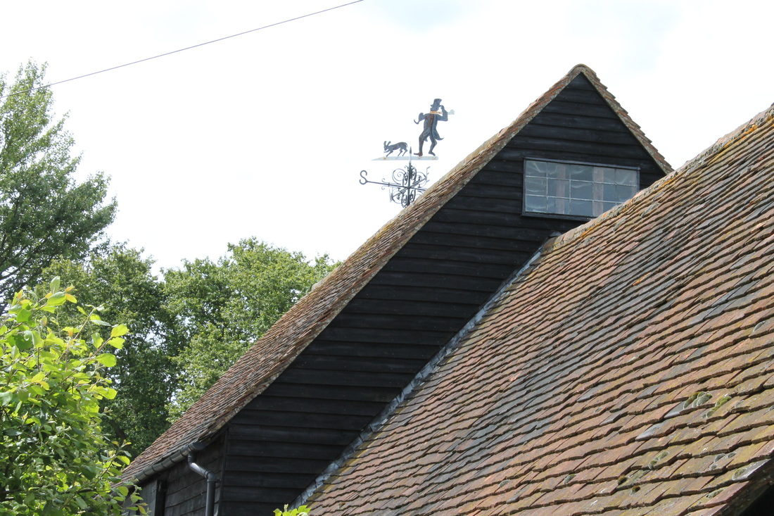
Note the lovely weather vane above Bragmans Farm
|
Note the lovely Bragman weather vane on the roof of Bragmans Farm and the "Footpath" signpost on it's wall which directs you to your right.
Follow the path down beside the farm and veer left across the field to the tile in the bottom corner which you cross and emerge onto Bragmans Lane. |
Bragmans Lane, footpath signpost
|
Turn left and walk for about 400yds - beware of traffic as this is a narrow lane with no pavements.
After passing a small passing space on your left a footpath signpost will appear on your left pointing to Newhouse Farm on your right. The actual stile is somewhat hidden in the thick hedge on your right, as you can see below, but cross this stile and veer left across the field heading for the corner beside Newhouse Farm. Take the path down the left hand side of the farm to emerge onto a narrow lane where you turn right and go forward past the farm. |
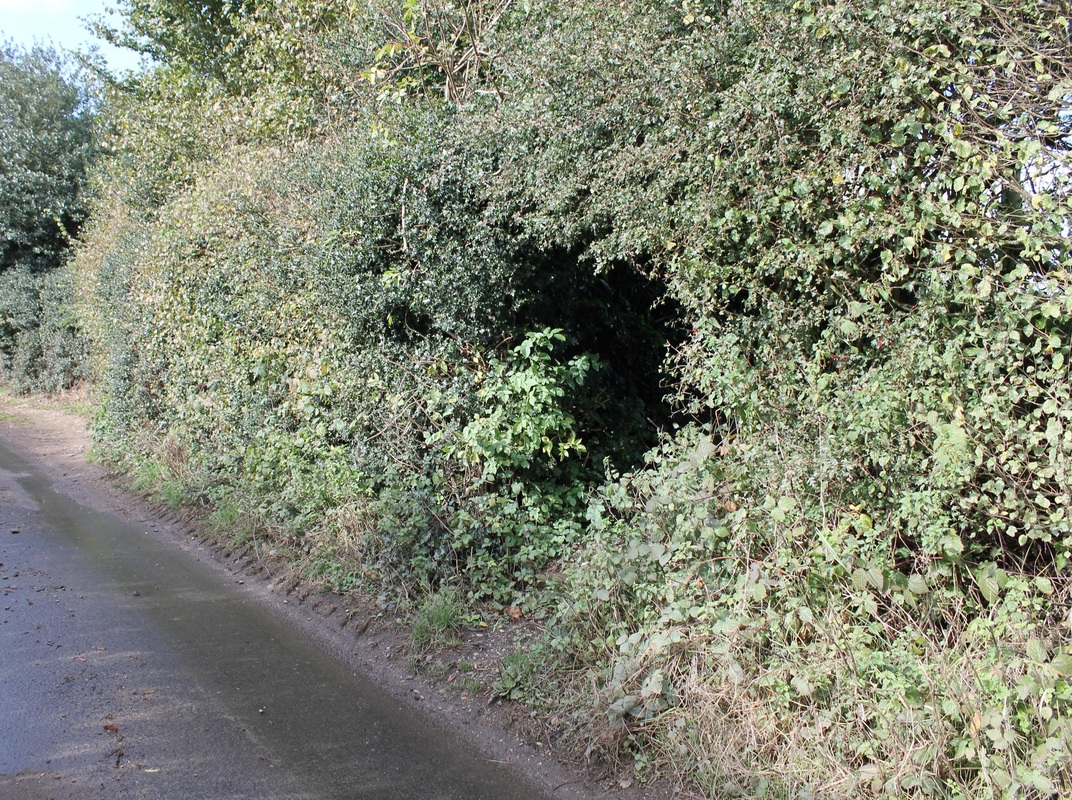
Footpath entrance "hidden" in the hedge on Bragmans Lane
|
Actual stile on Bragmans Lane
|
Footpath entrance on left by Newhouse Farm
|
With Newhouse Farm on your right go forward about 30yds and then along the footpath on your left.
I did this walk on a bright sunny day and it looked at this point as if you were walking into a black hole..... Continue forward through the field keeping the small hedgerow on your right. Go through the break in the hedge at the end and then veer right to head for a stile in the far right corner. Cross the stile and follow the path down to Flaunden Hill where you turn right. |
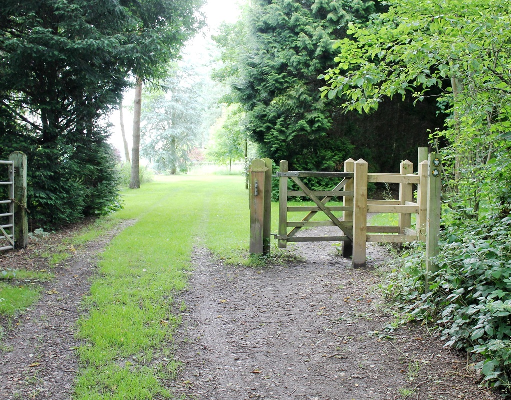
Footpath entrance to Lower Plantation
|
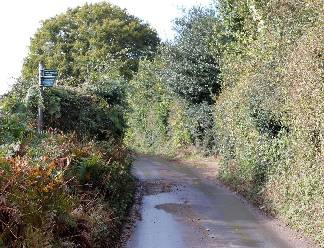
Follow Flaunden Hill down towards the junction with Long Lane where you will see dead ahead the sign pointing to the Lower Plantation footpath.
Proceed uphill keeping right of the bridleway to avoid the worst of the mud. Continue forward on this path until you emerge onto Holly Hedges Lane, where you turn right and proceed past the house called Hollow Hedge. |
Woodmans Wood - take the left fork and continue uphill to emerge in Dunny Lane
|
There are two routes into Woodmans Wood:
1. The Bridleway route which is wider and easier BUT it has horses! So after persistent or heavy rain it can get very, very muddy. 2. The footpath, which is about 150yds further down the lane, is a lot smaller and does tend to get muddy as well after persistent or heavy rain, but nowhere near as bad as the bridleway. So take your choice. Either way you will arrive at this junction, you will come at it from the left if you use the bridleway or the right if you use the footpath. Bear left and go uphill following the path to the top where it bends round to the right and runs parallel to the edge of a field. Continue on, with the field on your left, until you appear into the open in another field. Continue forward downhill, keeping the hedge on your left to emerge into Dunny Lane |
Bridleway entrance on Olleberrie Lane
|
Footpath entrance on left in Olleberrie Lane
|
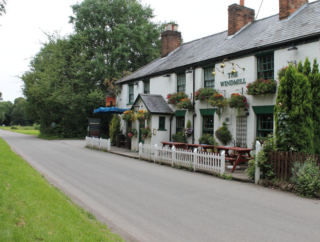
Windmill public house, Chipperfield
|
Go left along Dunny Lane and then right uphill along Windmill Hill to emerge at Chipperfield Common.
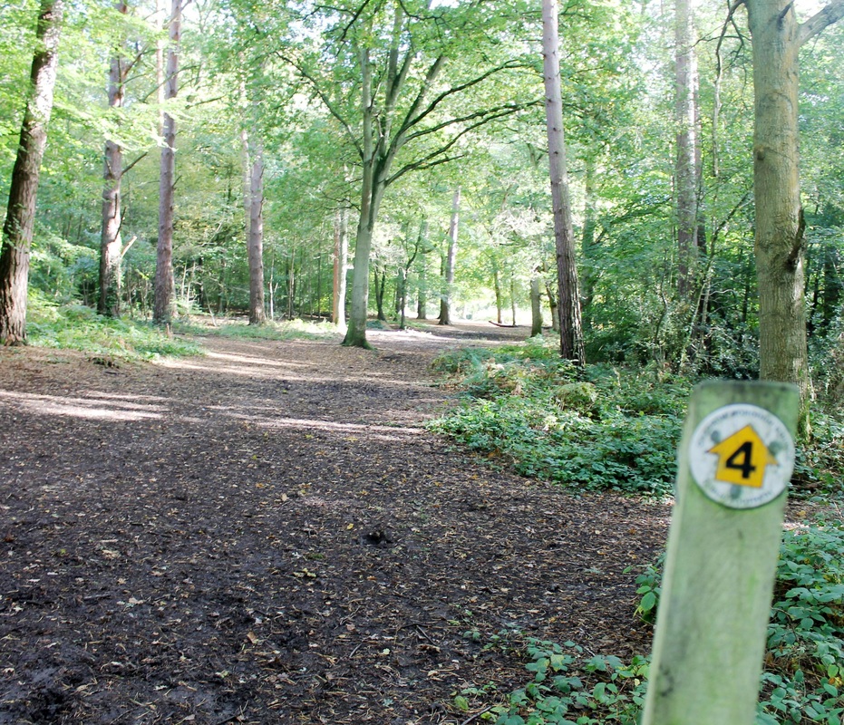
Proceed forward about 300yds until you reach the Windmill public house. Just opposite is a large Cedar tree with a memorial plaque for the 1953 Coronation. Cross the road and head for this tree and about 10yds short of it is a footpath - marked "4" . Take this path and follow along route "4" ignoring all other crossing or diagonals staying only on route "4" to emerge at Apostles' pond. See the following photos for guidance. |
Start of route "4" just opposite The Windmill public house
|
En Route using path "4" to Apostles' pond
|
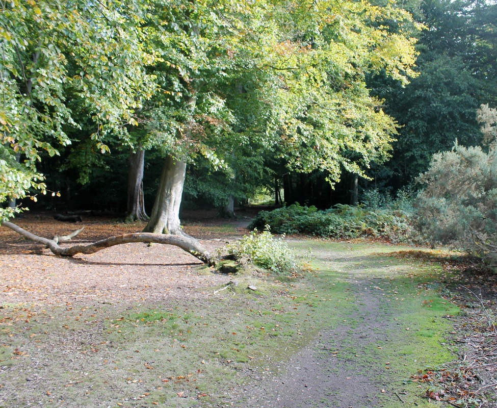
Path "4" - nearly there!
|
Final section with Apostles' pond in sight
|
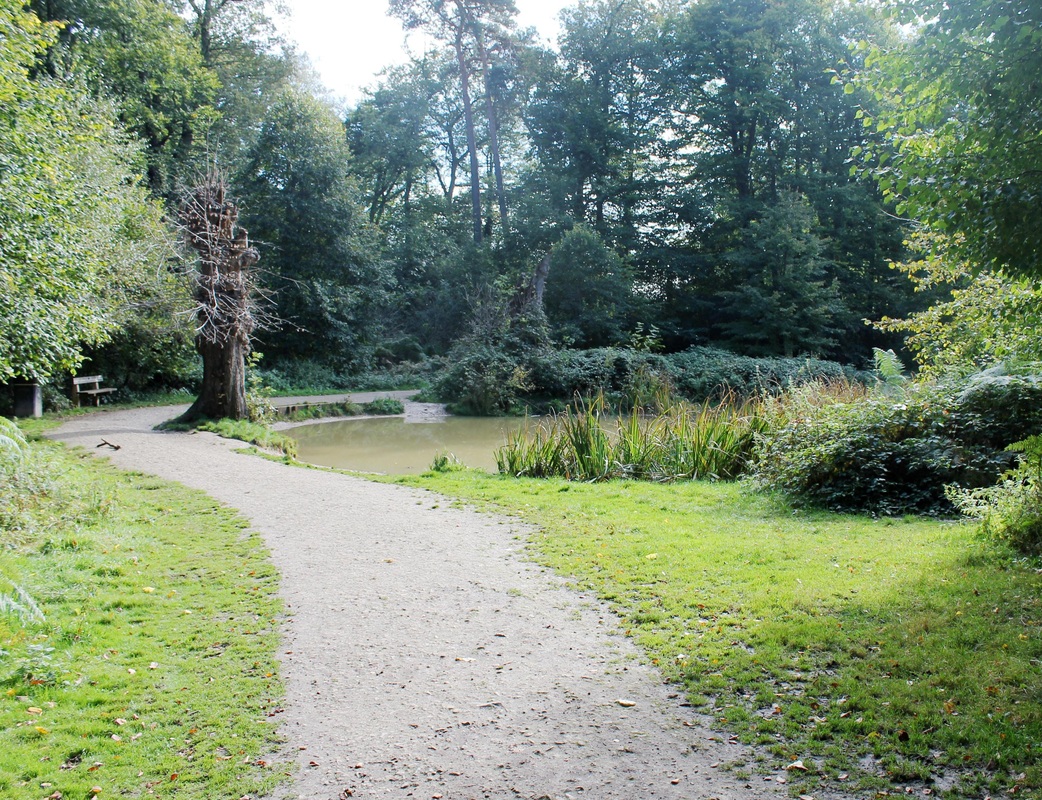
Apostles' Pond, Chipperfiled Common
|
Apostles' Pond so called because of the 12 Lime trees planted around the pond in 1714.
In 1983 these trees were pollarded to allow more light onto the pond and replacement trees have been planted further back so that there will be a second generation of "Apostles" when the existing trees die. The bench in the foreground was donated by the Chipperfield Womens Institute to commemorate the Queens Golden Jubilee in June 2002 |
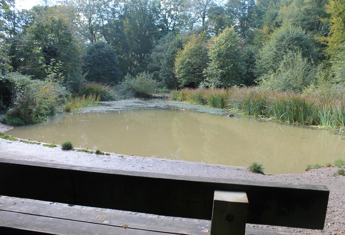
Continue on path "4" to go on to Cart & Horses public house
|
Continue forward around the left side of the pond, passing the commemorative bench and staying on the same path to head straight for the gap ahead of you and onto the footpath. Leaving Chipperfield Common behind, go forward along the path through a couple of open fields to a kissing gate to join the road where it bends, Callipers cottage is on your left, and 100yds further on is the Cart and Horses public house.
|
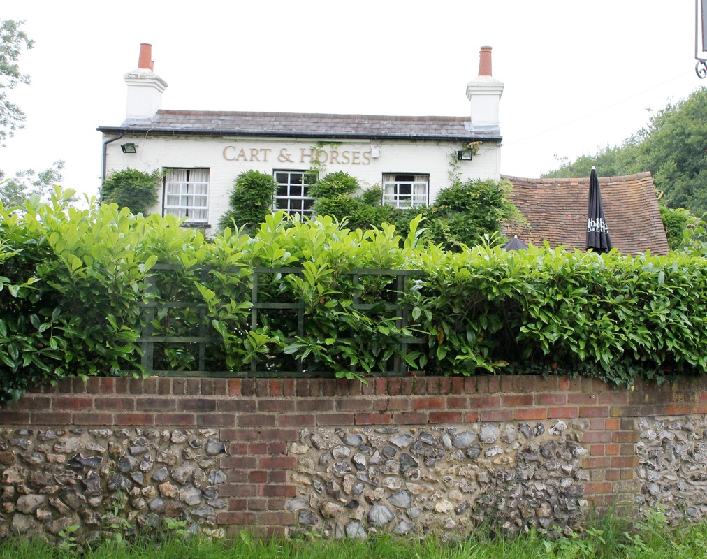
Cart and Horses public house, Quickmoor Lane
|
At the Cart and Horses ignore Quickmoor Lane on your left and proceed forward until the road forks with Commonwood House on your right.
Keep left at this fork and proceed downhill to Bottom Lane |
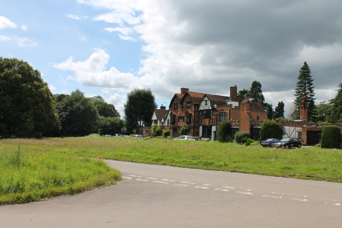
Commonwood House, Quickmoor Lane
|
Despite it's Tudor appearance this house wasn't actually started until 1913 and not finished until 1932.
A fire in the 1950's destroyed much of the upper part of the right hand side of the building It is now divided into apartments. |
Quickmoor Lane entering Bottom Lane
|
At the bottom of Common Wood turn left along Bottom Lane and the after about 20yds take the footpath on your right.
(Where there is currently a "For Sale" sign) |
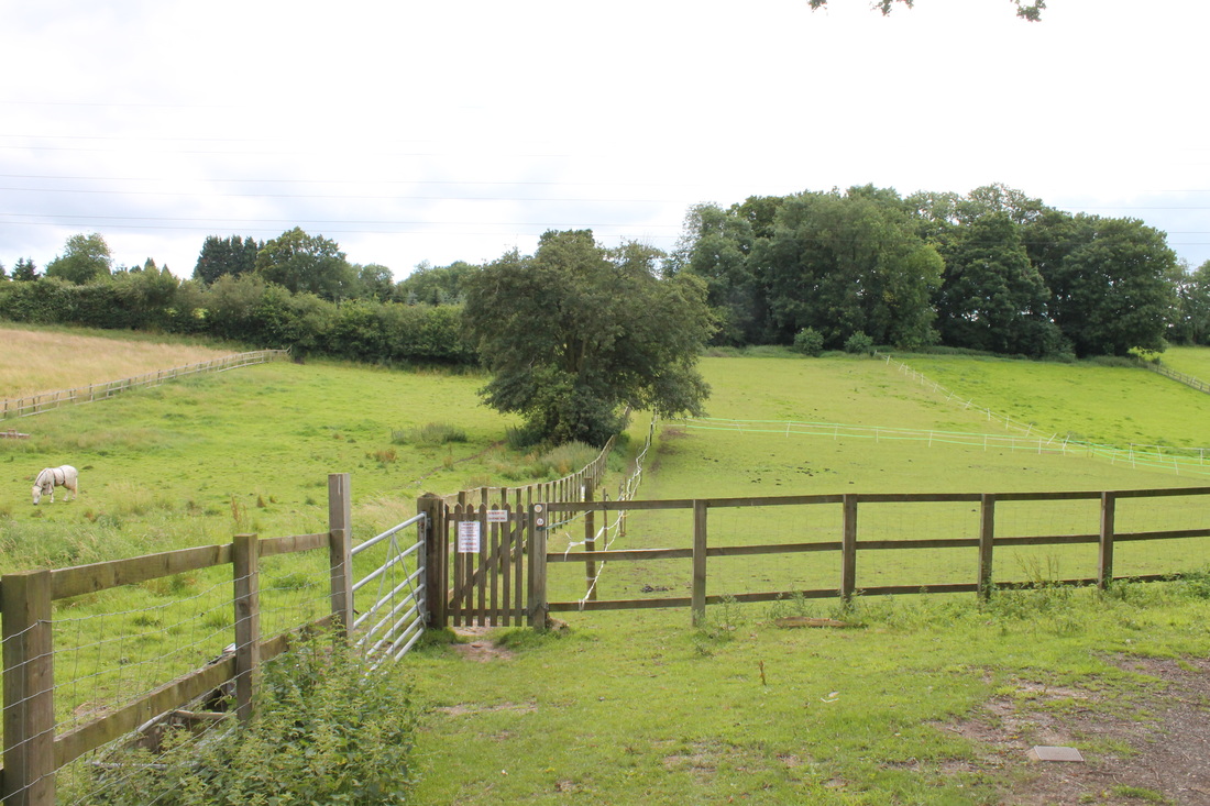
Start of footpath from Bottom Lane to The Briars
|
Cross the stile onto the footpath which runs straight ahead alongside the field.
Look at the stables, where there are usually many horses to see. Follow this path straight ahead up the hill, through the copse, straight on beside the tennis courts until you emerge into The Briars. |
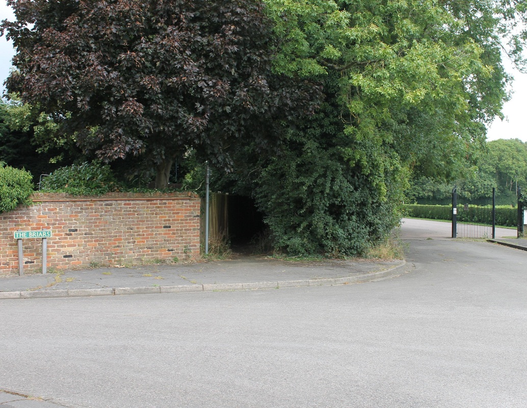
Footpath exit at The Briars
|
This is a picture of the exit from the footpath onto The Briars.
From here proceed forward on George V Way and directly opposite is the Village Hall - from whence you started!! I hope you enjoyed your walk, and that the weather was kind. If you found any errors, spelling or otherwise, or difficulty with my directions then do please let me know, I'm always looking to improve my information. Suggestions are also always welcome. |
